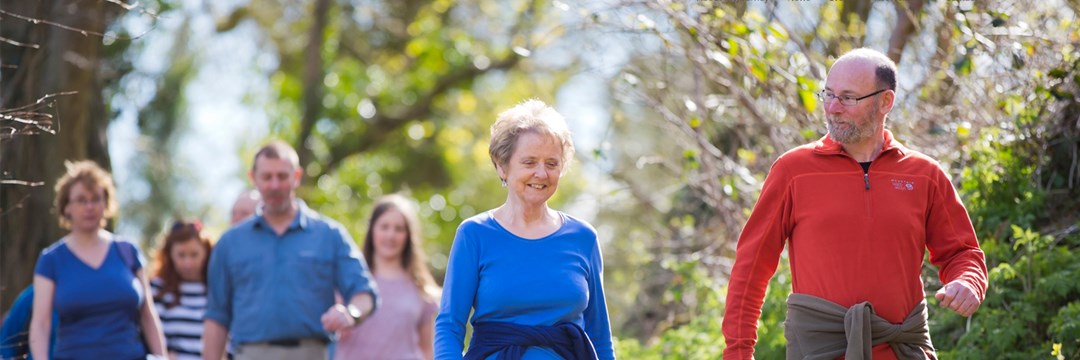
Local Walks
Explore your local area
Looking for where to go for a walk in the Borough? Check out the information below for details of routes in the areas.
Walks in Barkham
Barkham Parish Council have details on their website about two new walking routes in the area, The Coombes circular walk, and The Barkham Way. The Coombes walk takes about an hour and a half to complete, while the Barkham way takes about half an hour in either direction.
Please be aware that the surfaces may be wet and muddy during winter and the tracks may not be suitable for wheelchairs or pushchairs.
Walks in Earley
Earley is fortunate in having many attractive open spaces; the Town Council are able to provide residents with information regarding readily accessible local walks.
Volunteers from Loddon Valley Ramblers have designed walks that use the extensive network of quiet footpaths and paths/cycleways around the Town. Some walking on pavements and gravel or grassy surfaces is also needed. Comprehensive route notes along with photographs and a map is provided for each walk.
Full details of all these walks can be found on Earley Town Council's website.
Walks in Finchampstead
Finchampstead is fortunate to have over 21 miles of footpaths within the Parish. These are maintained by Wokingham Borough Council but the Parish Council employs a part time Footpath Warden to ensure that the paths are maintained to an even better standard. Finchampstead Parish Council have produced a series of local walks details of which can be found here.
Walks in Shinfield
Shinfield Parish Volunteer Group have six planned walking routes around the parish. Details of the walks can be downloaded here, and printed copies are available at the Shinfield Parish Office at School Green, Shinfield, Reading, RG2 9EH.
Walks in Sonning
Sonning Parish Council have details of a couple of walks in their area. One of them is a short historic walk taking about 20-30 minutes the other one is a riverside ramble taking about 40-60 minutes. Full details of both of these walks can be found here.
Walks in Woodley
Visit Woodley Town Council's website for details of walks in the Woodley area.
Rights of Way Map
We have updated our definitive rights of way map with help from the Loddon Valley Rambers, whose volunteers walked all 238 km (140 miles) of our footpaths, bridleways and byways and recorded the location of all 84 stiles, 231 gates, 108 bridges, 21 benches and 876 signs.
You can search for the nearest routes in your area, then click on points of interest to find out more. If you encounter something not listed on your travels, report it and we’ll aim to update the map or fix faults as soon as we can.
Nature Parks
We have 29 nature parks in Wokingham Borough. Please visit the Countryside Service website to find full details.
Get Outside
Looking for ideas of where to walk and to plan your route visit the GetOutside website which was founded by Ordnance Survey to help more people to get outside more often.
Thames Basin Heaths
To find green spaces on your doorstep and get outside for some fresh air and exercise in your local area visit the Thames Basin Heaths Partnership website for some ideas.

